Desert
Kalahari Desert
The Kalahari covers most of Botswana and reaches into Namibia, Angola, Zambia and South Africa.
Source: science.nasa.gov
The Okavango Delta inside it is greenest in the dry season, fed by rain that fell months earlier in the Angolan Highlands, swelling from 5,000 square kilometres to as much as 12,000.
Source: science.nasa.gov
Find Kalahari Desert on the mapWhere it is
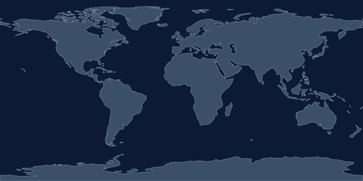
On the Atlas Quest map, the Kalahari Desert label sits at 24.7° S, 21.5° E, in the Southern and Eastern Hemispheres.
Coordinates, names: Natural Earth, public domain.
Nearby places
The closest other places with pages here, measured between map label points:
- Namib Desert — about 620 km west
- Congo — about 2,400 km north
- Congo Basin — about 2,600 km north
- Lake Victoria — about 2,900 km north-east
Play with it
- Today’s daily geography challenge — one shared round, playable offline.
- Guess the country by its shape — six guesses, with distance and direction after each.
- Start with easy questions — familiar countries, hints and no time limit.