Desert
Sahara
Dust storms carry about 40 million tons of Saharan dust across the Atlantic to the Amazon River Basin each year.
Source: science.nasa.gov
Find Sahara on the mapThe largest desert outside the poles
The Sahara is the largest desert on Earth outside the polar regions. Parts of it receive only a few tens of millimetres of rain in a typical year, which is why its landscapes are famous for being bare and dry.
Source: science.nasa.gov
When the rain does come
On 7 and 8 September 2024, an extratropical cyclone swept across the north-western Sahara and soaked treeless parts of Morocco, Algeria, Tunisia and Libya that rarely see rain. Satellite estimates put the totals at many tens of millimetres, and more than 200 millimetres in places: roughly what the region usually receives in a whole year.
Source: science.nasa.gov
Lakes that come and go
Some Saharan lakes are normally dry. After the 2024 storm, Sebkha el Melah in Algeria began to fill, and by 16 October water covered 191 square kilometres to a depth of 2.2 metres. Researchers who studied the rain events over its watershed since 2000 found that only six of hundreds had brought enough water to start filling it.
Source: science.nasa.gov
A greener past
The Sahara has not always been a desert. Roughly 11,000 to 5,000 years ago, during the African Humid Period, it was probably far wetter. Geological and archaeological evidence suggests that plants, wetlands and perhaps large lakes covered ground that is sand today.
Source: science.nasa.gov
Where it is
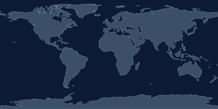
On the Atlas Quest map, the Sahara label sits at 22.2° N, 12.3° E, in the Northern and Eastern Hemispheres.
Coordinates, names: Natural Earth, public domain.
Nearby places
The closest other places with pages here, measured between map label points:
- Africa — about 1,900 km south-east
- Mediterranean Sea — about 2,000 km north-east
- Dead Sea — about 2,500 km north-east
- Red Sea — about 2,700 km east
Play with it
- Today’s daily geography challenge — one shared round, playable offline.
- Guess the country by its shape — six guesses, with distance and direction after each.
- Start with easy questions — familiar countries, hints and no time limit.