Sea
Mediterranean Sea
A sea is smaller than an ocean and usually partly enclosed by land, which is exactly what the Mediterranean is.
Source: oceanservice.noaa.gov
Find Mediterranean Sea on the mapA sea with one natural door
The Mediterranean is about 3,700 kilometres (2,300 miles) long and covers about 2.5 million square kilometres. Its only natural opening to the world’s oceans is the Strait of Gibraltar, which is just 13 kilometres (8 miles) wide between Spain and Morocco.
Source: science.nasa.gov
The sea that dried up
Nearly six million years ago, mountains rising around Gibraltar, together with a change in the region’s weather, cut the Mediterranean off from the Atlantic. The trapped water evaporated completely, leaving a hot, empty basin roughly 1,500 metres deep.
Source: science.nasa.gov
And the flood that refilled it
One study suggests that about 300,000 years later, rainfall increased and Atlantic water began pouring back into the basin, creating the sea that exists today. That flood has been calculated at around a thousand times the amount of water the Amazon River discharges in a year.
Source: science.nasa.gov
A busy gateway
Today the narrow strait is a busy shipping lane. Around 300 ships pass through it every day, from fishing boats and ferries to cargo ships and yachts.
Source: science.nasa.gov
Where it is
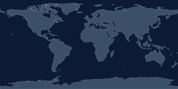
On the Atlas Quest map, the Mediterranean Sea label sits at 33.5° N, 28.3° E, in the Northern and Eastern Hemispheres.
Coordinates, names: Natural Earth, public domain.
Nearby places
The closest other places with pages here, measured between map label points:
- Dead Sea — about 710 km east
- Black Sea — about 1,200 km north
- Red Sea — about 1,800 km south-east
- Sahara — about 2,000 km south-west
Play with it
- Today’s daily geography challenge — one shared round, playable offline.
- Guess the country by its shape — six guesses, with distance and direction after each.
- Start with easy questions — familiar countries, hints and no time limit.