Lake
Dead Sea
The Dead Sea is not called dead for nothing: it is too salty for aquatic life.
Source: usgs.gov
Find Dead Sea on the mapThe lowest lake on Earth
The Dead Sea lies in the Jordan Rift Valley, where Africa and Asia are slowly pulling apart and the ground between them has been sinking for millennia. Rivers, the Jordan above all, drain into the basin that sinking has made. The lake’s surface is nearly 400 metres (1,300 feet) below sea level, the lowest surface feature anywhere on Earth.
Source: science.nasa.gov
Water comes in, but never flows out
Nothing drains out of the Dead Sea. Its water leaves only by evaporating, and the salt stays behind. When NASA described a 1999 satellite image of the lake, its surface covered about 1,035 square kilometres, and a single hot, dry summer day could lower it by two to three centimetres, leaving the remaining water saltier each time.
Source: science.nasa.gov
One sea, now two
The Dead Sea used to be deep at its northern end and shallow at its southern end. As more of the water that once flowed into it was diverted to farms, it separated into two lobes. The southern part is now mostly dry, apart from shallow ponds where potash and other salts are extracted.
Source: science.nasa.gov
A shrinking shoreline
Water diverted from the Jordan River supplies Israel’s farms, and Jordan draws on various streams for much of its own needs. NASA notes that the shoreline has retreated dramatically over recent decades and that the lake will eventually dry up unless it gains a new source of water. Canals bringing water from the Mediterranean or the Red Sea have been studied as one answer.
Source: science.nasa.gov
Where it is
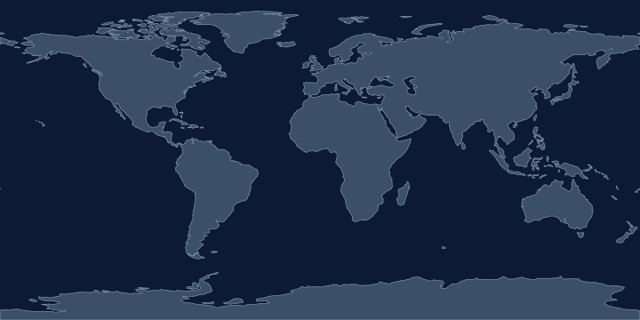
On the Atlas Quest map, the Dead Sea label sits at 31.6° N, 35.5° E, in the Northern and Eastern Hemispheres.
Coordinates, names: Natural Earth, public domain.
Nearby places
The closest other places with pages here, measured between map label points:
- Mediterranean Sea — about 710 km west
- Red Sea — about 1,300 km south
- Black Sea — about 1,400 km north
- Strait of Hormuz — about 2,100 km east
Play with it
- Today’s daily geography challenge — one shared round, playable offline.
- Guess the country by its shape — six guesses, with distance and direction after each.
- Start with easy questions — familiar countries, hints and no time limit.