Depression
Death Valley
Badwater Basin is the lowest point in North America at 282 feet below sea level — and it lies in the afternoon shadow of Telescope Peak, 11,049 feet above it.
Source: nps.gov
Beneath Badwater lies more than 11,000 feet of accumulated sediment and salts. The valley itself only began to form about three million years ago.
Source: nps.gov
Find Death Valley on the mapThe hottest air temperature on record
On 10 July 1913, Furnace Creek in Death Valley recorded an air temperature of 134°F (57°C), the hottest ever measured on Earth. The heat wave that produced it brought five days in a row at 129°F (54°C) or more.
Source: nps.gov
Why it gets so hot
The valley is a long, narrow basin 86 metres (282 feet) below sea level, walled in by high, steep mountains. Clear air and sparse plants let the sun heat the ground, and the rocks radiate that heat back into the valley. Warm air rises but cools before it can clear the mountain walls, then sinks back down, and as it sinks it is compressed and heated even further.
Source: nps.gov
Why it stays so dry
Death Valley averages less than 5 centimetres (2 inches) of rain a year. Storms from the Pacific have to cross four major mountain ranges to reach it, and each range wrings out more moisture as rain and snow on its western side, leaving the valley in a deep rain shadow.
Source: nps.gov
Summers that do not let up
The heat in Death Valley is long as well as intense. In the summer of 2001 it reached 100°F (38°C) or higher on 154 days in a row, and in 1917 it hit at least 120°F (49°C) on 43 consecutive days.
Source: nps.gov
Where it is
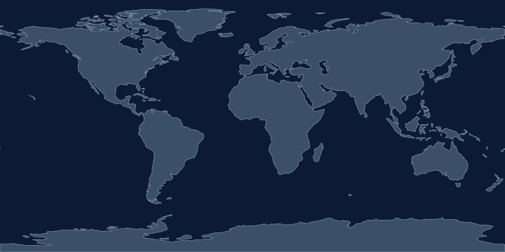
On the Atlas Quest map, the Death Valley label sits at 36.2° N, 116.8° W, in the Northern and Western Hemispheres.
Coordinates, names: Natural Earth, public domain.
Nearby places
The closest other places with pages here, measured between map label points:
- Great Salt Lake — about 670 km north-east
- Yellowstone Lake — about 1,100 km north-east
- Cascade Range — about 1,400 km north
- Mississippi — about 2,300 km east
Play with it
- Today’s daily geography challenge — one shared round, playable offline.
- Guess the country by its shape — six guesses, with distance and direction after each.
- Start with easy questions — familiar countries, hints and no time limit.