Peak
Denali
Denali is the tallest mountain in North America. A GPS survey re-measured its summit at 20,310 feet, ten feet lower than the 1950s figure it replaced.
Source: usgs.gov
Find Denali on the mapWhere it is
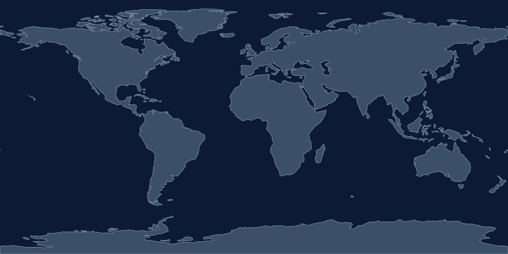
On the Atlas Quest map, the Denali label sits at 63.1° N, 151.0° W, in the Northern and Western Hemispheres.
Elevation: 6,194 metres (20,322 feet), the 15th highest of the 76 peaks in the game.
Coordinates, names and elevation: Natural Earth, public domain.
Nearby places
The closest other places with pages here, measured between map label points:
- Bering Sea — about 1,300 km south-west
- Aleutian Islands — about 1,400 km south-west
- Arctic Ocean — about 2,100 km north
- Cascade Range — about 2,500 km south-east
Play with it
- Today’s daily geography challenge — one shared round, playable offline.
- Guess the country by its shape — six guesses, with distance and direction after each.
- Start with easy questions — familiar countries, hints and no time limit.