Peak
Mount Kilimanjaro
Kilimanjaro’s isolated volcanic massif rises to 5,895 metres, the highest point in Africa.
Source: whc.unesco.org
Find Mount Kilimanjaro on the mapA mountain standing on its own
Kilimanjaro is not part of a mountain range. It is the largest free-standing volcanic mass in the world, rising about 4,877 metres above the plains around it. That isolation, with a snow-capped summit above the savannah, is a large part of why UNESCO lists it as a superlative natural phenomenon.
Source: whc.unesco.org
Three volcanic peaks
The mountain is one of the largest volcanoes in the world and has three main volcanic peaks: Kibo, Mawenzi and Shira. Its summit carries a cap of snow and glaciers.
Source: whc.unesco.org
Five zones from base to summit
From its base to its top, the mountain has five main vegetation zones: the lower slopes, montane forest, heath and moorland, alpine desert and the summit. The whole mountain, especially its forest belt, is rich in species, including many mammals that are endangered.
Source: whc.unesco.org
Protected, but changing
Kilimanjaro National Park was established in 1973 and became a World Heritage Site in 1987. A 2005 extension brought the montane forest inside the park, which now covers some 75,575 hectares. UNESCO notes that its glaciers are retreating and singles them out as particularly vulnerable to climate change.
Source: whc.unesco.org
Where it is
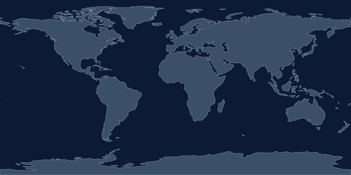
On the Atlas Quest map, the Mount Kilimanjaro label sits at 3.1° S, 37.4° E, in the Southern and Eastern Hemispheres.
Elevation: 5,895 metres (19,341 feet), the 16th highest of the 76 peaks in the game.
Coordinates, names and elevation: Natural Earth, public domain.
Nearby places
The closest other places with pages here, measured between map label points:
- Lake Victoria — about 530 km north-west
- Congo Basin — about 1,800 km west
- Africa — about 2,000 km north-west
- Congo — about 2,000 km west
Play with it
- Today’s daily geography challenge — one shared round, playable offline.
- Guess the country by its shape — six guesses, with distance and direction after each.
- Start with easy questions — familiar countries, hints and no time limit.