Strait
Strait of Hormuz
In the first half of 2025, about 20.9 million barrels of oil a day passed through Hormuz — roughly one-quarter of the world’s maritime oil trade.
Source: eia.gov
Between Oman and Iran, Hormuz links the Persian Gulf to the Gulf of Oman and Arabian Sea. In early 2025 it also carried 11.4 billion cubic feet of LNG a day.
Source: eia.gov
Find Strait of Hormuz on the mapOne of the world’s key chokepoints
The Strait of Hormuz is the passage leading out of the Persian Gulf. It is deep and wide enough for the largest crude oil tankers in the world, and together with the Strait of Malacca it is one of the two most important oil chokepoints by volume.
Source: eia.gov
Where the cargo goes
Most of the oil that passes through Hormuz heads east. In the first half of 2025, about 89% of the crude oil and condensate went to Asian markets, and China, India, Japan and South Korea alone took 74%. Saudi Arabia ships more crude through the strait than any other country, while most of the liquefied natural gas that passes through comes from Qatar.
Source: eia.gov
Routes around it
A few pipelines can carry oil around the strait. Saudi Arabia’s East-West pipeline and the UAE’s Abu Dhabi pipeline could together move about 4.7 million barrels a day if shipping were disrupted, and the UAE plans another pipeline by 2027, from Jebel Dhanna to Fujairah. That is still far less than the oil that normally sails through.
Source: eia.gov
Where it is
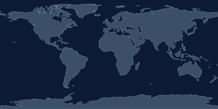
On the Atlas Quest map, the Strait of Hormuz label sits at 26.5° N, 56.3° E, in the Northern and Eastern Hemispheres.
Coordinates, names: Natural Earth, public domain.
Nearby places
The closest other places with pages here, measured between map label points:
- Arabian Sea — about 1,700 km south-east
- Red Sea — about 2,000 km west
- Dead Sea — about 2,100 km west
- South Aral Sea — about 2,100 km north
Play with it
- Today’s daily geography challenge — one shared round, playable offline.
- Guess the country by its shape — six guesses, with distance and direction after each.
- Start with easy questions — familiar countries, hints and no time limit.