River
Amazonas
The Amazon is Earth’s largest river, winding through a floodplain more than 32 kilometres wide, still filling with sediment carried down from the distant Andes.
Source: science.nasa.gov
When sea level fell during the last Ice Age, the river cut a canyon tens of metres deep. Its bed has been rising ever since as sediment refills it.
Source: science.nasa.gov
Find Amazonas on the mapWhere it is
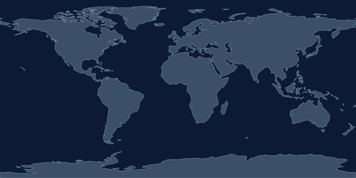
On the Atlas Quest map, the Amazonas label sits at 3.2° S, 63.6° W, in the Southern and Western Hemispheres.
Also labelled Amazon.
Coordinates, names: Natural Earth, public domain.
Nearby places
The closest other places with pages here, measured between map label points:
- Amazon Basin — about 460 km south-east
- Desierto de Atacama — about 2,300 km south
- Sargasso Sea — about 3,500 km north
- North Atlantic Ocean — about 4,600 km north-east
Play with it
- Today’s daily geography challenge — one shared round, playable offline.
- Guess the country by its shape — six guesses, with distance and direction after each.
- Start with easy questions — familiar countries, hints and no time limit.